Summer (Dec–Feb)
Fire & heatTotal Fire Ban days possible. Check Vic Emergency app before driving on high-risk days. Crashes more common due to congestion and tourist drivers.

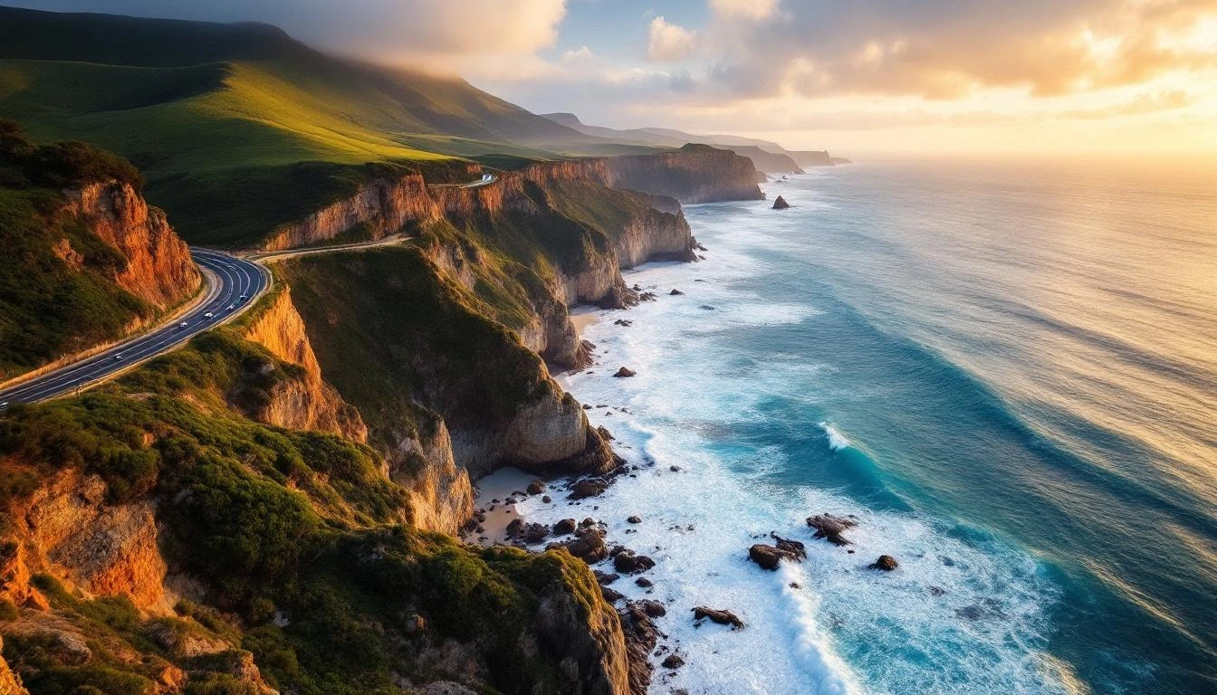
Where to check before you drive, what to expect by season, and the cliff-section hotspots that occasionally close. The road is reliable — but check the day-of.
Each season brings different risks. None should put you off the trip — they're just things to plan around.
Total Fire Ban days possible. Check Vic Emergency app before driving on high-risk days. Crashes more common due to congestion and tourist drivers.
The most reliable driving season. Mild weather, no school holidays after late April. Occasional storm cleanup days but recovery is fast.
Major rain events can cause rockfalls, fallen trees and short-term closures on the cliff section between Lorne and Apollo Bay. Allow extra time. Daylight short — avoid finishing drives after 5:00 pm.
Storm risk into October; settled weather by late November. School holidays late September drive crowds up. Wildlife on roads increases (kangaroos, wallabies, echidnas) at dawn and dusk.
Most of the road is reliable in any weather. A few sections demand more attention.
| Section | Risk | Notes |
|---|---|---|
| Lorne–Apollo Bay cliff section | Highest | Tight coastal cliffs prone to rockfall after rain. Most likely to have short closures in winter. Drive cautious; signed 80 km/h often realistically 50–60. |
| Lavers Hill–Apollo Bay (C155) | Moderate | Otway forest road; fallen trees after storms common. Often lasts a few hours only. Use Princes Highway alternative if uncertain. |
| Cape Otway road | Moderate | Narrow 12 km dead-end through dense forest. Wildlife strikes common. Slow drivers and tourists slow traffic at peak times. |
| Princetown–Twelve Apostles | Low | Open coastal landscape, modern road. Mostly unaffected by weather. Crashes here are usually tourist-related rather than condition-related. |
| Warrnambool–Port Fairy | Low | Open agricultural land, straight roads. The most reliable section even in poor weather. |
When the cliff section is closed or weather is severe, the inland Princes Highway (M1 then A1) is your safe alternative. It parallels the coast 30–60 km inland and connects all the same towns via secondary roads — Geelong → Colac → Camperdown → Warrnambool, with branches to Apollo Bay (via Forrest), Port Campbell (via Cobden) and Port Fairy.
The Princes Highway is sealed dual carriageway for most of the way, with much higher reliability in storms. It's the route truck traffic uses. Driving Melbourne → Warrnambool inland takes about 3.5 hours versus 5 hours on the coast — useful when you need to get west fast.
Treat the inland route as the practical option for arriving and the coastal route as the scenic option for the experience. Many travellers do exactly this: inland out to a Port Campbell base, then drive the coast eastward back to Melbourne.