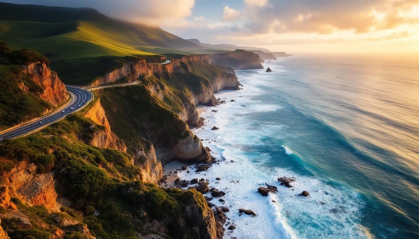
Great Ocean Road map
Every major stop, town, attraction and viewpoint plotted on a real navigable map. Click any marker for the full guide. Pan and zoom freely.
Region legend
- Surf Coast
- Otways
- Shipwreck Coast
Map controls
- Click any marker for the stop guide
- Use mouse wheel or pinch to zoom
- Click and drag to pan
For planning, not for navigation
This map shows every major Great Ocean Road stop in real geographic context. Use it to plan your trip — see the relative distances between stops, identify clusters, and click through to detailed guides. For actual driving navigation, use Google Maps or Apple Maps, which handle real-time traffic, road closures, and turn-by-turn directions.
The base map is OpenStreetMap, a free open-data alternative to commercial maps. The markers are colour-coded by region (Surf Coast, Otways, Shipwreck Coast). Click any marker to see the stop name, a brief description, and a link to the full guide on this site.
Most travellers find this map useful at three points: before the trip for picking which stops to include and which days to spend where; during the trip on a phone for orienting yourself between Google Maps navigation sessions; and after the trip for sharing favourite stops with friends.
Map FAQs
- How do you use the Great Ocean Road map?
- Click any marker on the map to see the stop name, brief description, and a link to the full guide. Use the region legend to filter by Surf Coast, Otways, or Shipwreck Coast. Pinch to zoom on mobile or scroll to zoom on desktop. The base map is OpenStreetMap, so you can pan around to explore the broader region.
- Is this a navigation map?
- Use Google Maps or Apple Maps for actual driving navigation — they handle real-time traffic, road closures, and turn-by-turn directions. This map is for trip planning: seeing where stops are relative to each other, planning daily routes, and clicking through to detailed guides for each location.
- What stops are shown on the map?
- Every major attraction, town, and viewpoint along the Great Ocean Road from Torquay in the east to Port Fairy in the west. Twelve Apostles, Loch Ard Gorge, Bells Beach, the lighthouse towns, the Otway forest attractions, and all the major towns. About 25 stops in total, each linked to a full guide.
- Can I download the map for offline use?
- The interactive map requires an internet connection (it loads OpenStreetMap tiles). For offline driving navigation, download the relevant Google Maps area before leaving Melbourne. The Great Ocean Road area is well-covered by Telstra mobile data, but parts of the Otway interior have patchy reception — offline maps are a good safety measure.
- How long does it take to drive the whole map?
- Direct drive from Torquay to Port Fairy along the Great Ocean Road and on to Port Fairy: about 5 hours of pure driving. With reasonable photo stops at every major attraction: 6–8 hours. Most travellers split the route across 2–3 days minimum to give each major stop the time it deserves.
- Can I see traffic conditions on this map?
- No — this is a static-attractions map, not a real-time traffic map. For traffic, use Google Maps or VicRoads. The Great Ocean Road sometimes has temporary closures after storms or during fire emergencies; check VicEmergency before driving in poor weather.
- What's the best route to drive based on this map?
- East to west — Torquay to Warrnambool to Port Fairy. The lookouts and pull-offs are mostly on the ocean side of the road, so westbound puts your car on the same side. You also reach the Twelve Apostles in late afternoon, which is the strongest light of the day.
- Are all stops free to visit?
- Most are free. The exceptions: Cape Otway Lightstation precinct (~AU$20/adult), Otway Fly Treetop Walk (~AU$30/adult), Split Point Lighthouse tower tour (~AU$20/adult), helicopter scenic flights (from AU$165/person). The viewpoints, beaches, walking trails, and most national park sites are free to visit.