Wreck Beach
15 km west · Walk down 350 steps
Wild exposed beach with two visible shipwreck anchors at low tide. 350 steps each way. Not for swimming. The most dramatic beach on the Shipwreck Coast.
Port Campbell's protected cove is the only safe swimming beach for 60 km in either direction along this dramatic, dangerous coast — here's how to use it well.
The 130-kilometre stretch of coast between Princetown and Warrnambool is called the Shipwreck Coast for a reason. The shoreline is mostly exposed sea cliff facing the Southern Ocean, with strong rips, heavy swell, and rocky inshore zones. Eight major shipwrecks went down here in the 19th century alone, including the 1878 wreck of the Loch Ard that gave its name to the famous gorge.
Port Campbell is the geographic exception. The town sits in a small natural inlet — a U-shaped cove cut between two sandstone headlands — that breaks the main swell before it reaches the beach. The result is a sheltered swimming bay surrounded by cliffs on three sides, with calm water on most days even when the open coast outside is hammering.
That makes Port Campbell beach the only safe swimming option for 60 kilometres in either direction. Loch Ard Gorge has a beach you can walk on but is unsafe to swim. Gibson Steps has spectacular sand but dangerous currents. Wreck Beach is wild and exposed. The cluster of viewpoints west of Port Campbell — London Arch, The Grotto, Bay of Islands — have no beach access at all. If you want to swim while based on the Shipwreck Coast, you swim in Port Campbell or you don't swim.
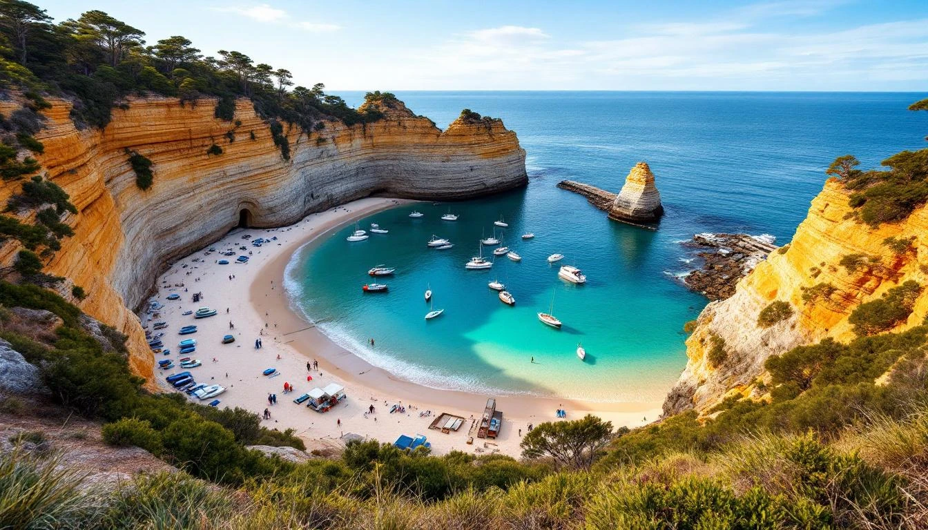
The 200-metre crescent of golden sand inside the protected cove. Drops gently into clear water; sand bottom with occasional small rocks at the cliff edges.
15 km west · Walk down 350 steps
Wild exposed beach with two visible shipwreck anchors at low tide. 350 steps each way. Not for swimming. The most dramatic beach on the Shipwreck Coast.
10 km east · Wide remote stretch
At the mouth of the Gellibrand River. Wide, remote, mostly empty. Walk-only access from Princetown. Not patrolled.
15 km east · 86 steps down
The only beach access on the Twelve Apostles stretch. 86 wooden steps cut into the cliff. Best at low tide. Don't swim — currents are strong.
8 km east · 100 steps down
Walk-down beach inside the protected gorge cove. Photogenic, good for picnics. Not safe for swimming due to swell pulses through the cove mouth.
8 km west · Short walk
Small protected cove at the Sherbrook River mouth. Short walk from a parking pull-off. Quiet, less photographed.
35 km west · Hidden cove
Far quieter than Bay of Islands. Walk down to the small protected cove. Better for photographing than swimming.
Port Campbell's main beach is safer than the open Shipwreck Coast but not without risk. Three things to check before swimming:
For real-time conditions, check the local Bureau of Meteorology forecast for Port Campbell. The BeachSafe Port Campbell page shows hazard ratings updated daily during summer.